Day 68, Mile 788.5 (1.5 miles, 9 miles side trail)

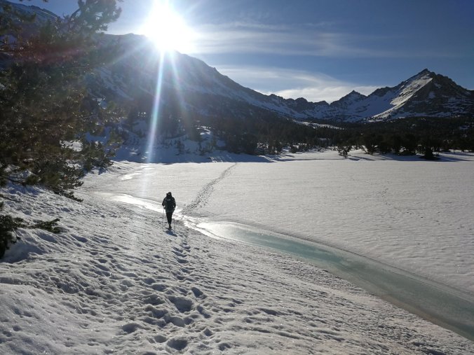
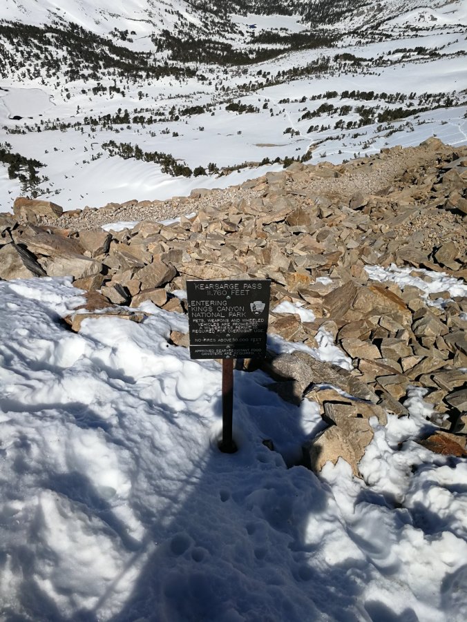
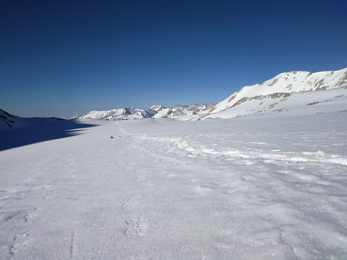
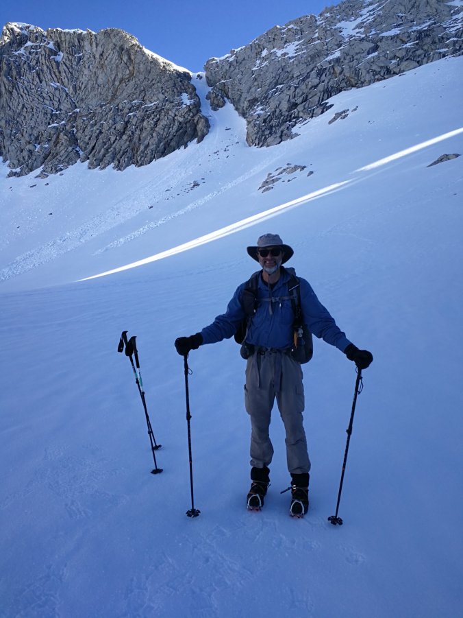
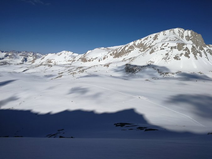
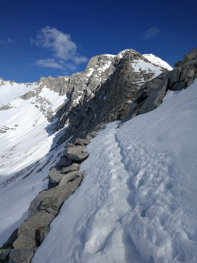
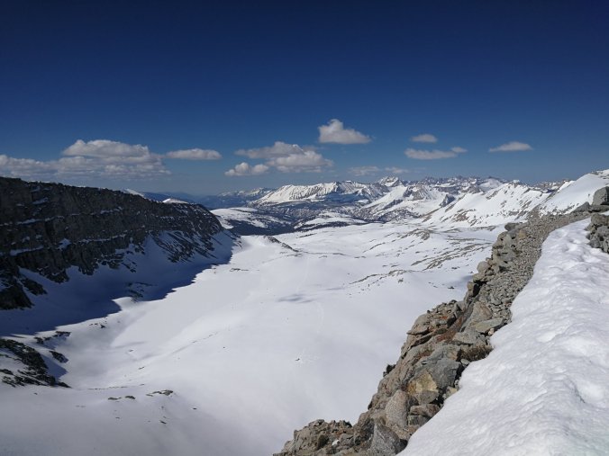
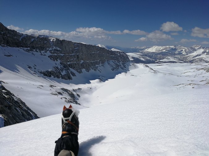
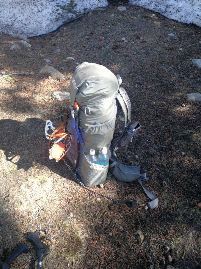
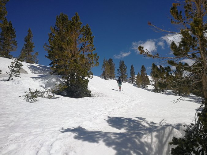
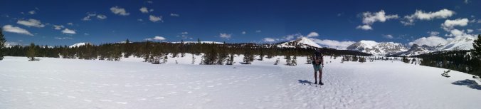
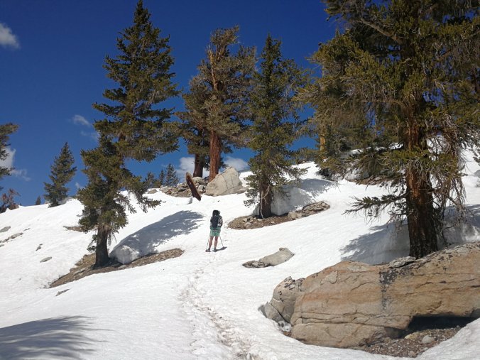
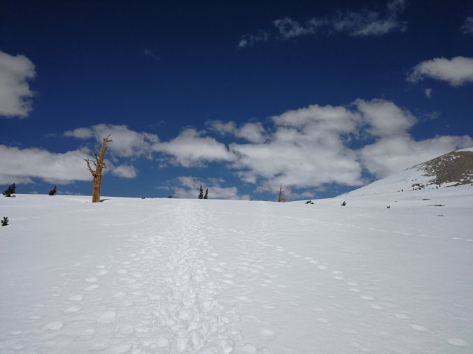
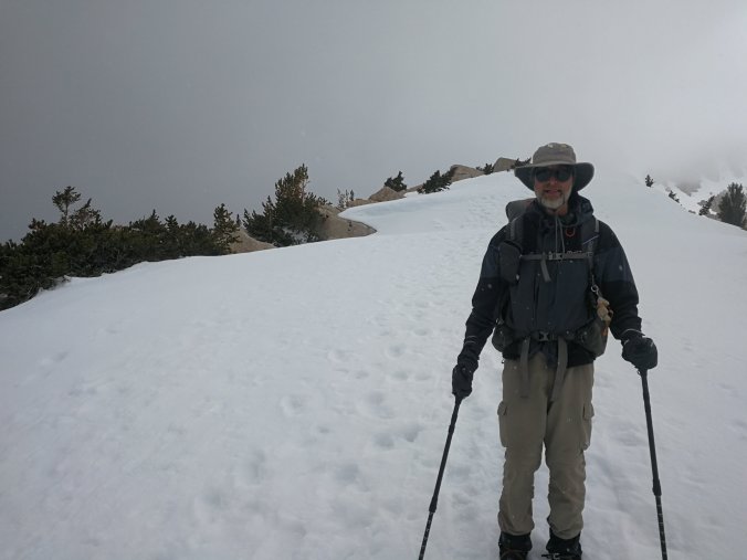
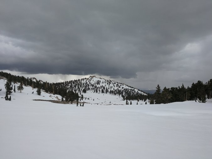
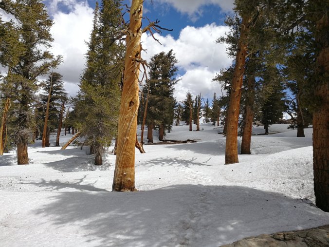
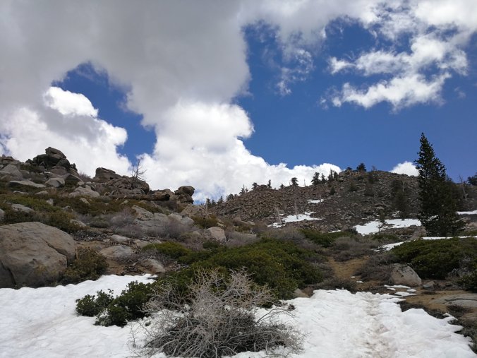
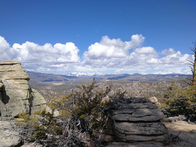
Up again at 4.15am to catch palatable snow conditions. A short walk, but significant elevation gain, to the start of the Bullfrog Side Trail followed by a pretty, but snow covered, walk to Kearsage Pass. While not as high as Forester, still a substantial and tiring climb especially since we wanted to finish it before the sun softened the snow.

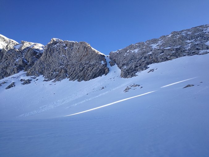
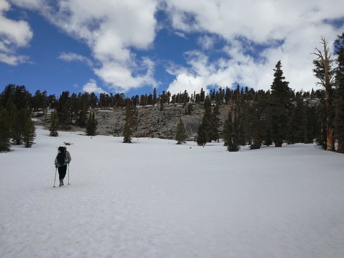
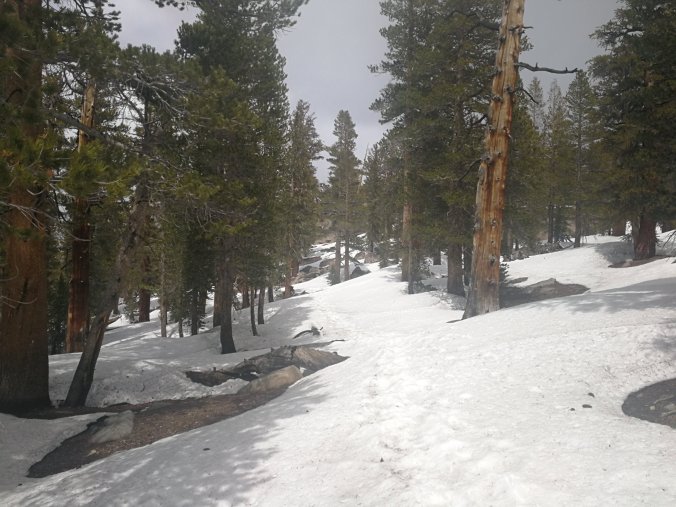
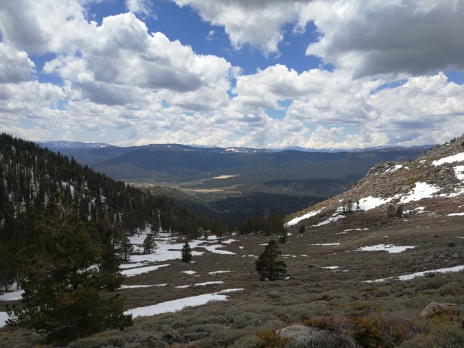
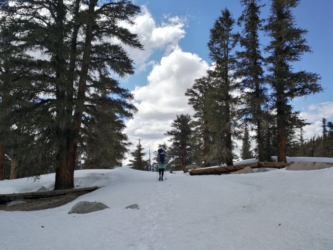
The descent from Kearsage to the Onion Valley Campground was through soft snow but no where near as taxing as the snow past Forester. Still, a couple of glissades sped things up considerably.

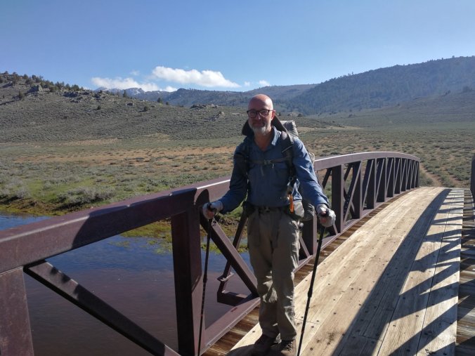
Upon entering the campground we got lucky. An ex-PCT hiker named Jim (Jersey) was reading at his car, and upon chatting he offered a lift. Now Kevin (Dickbag) needed to get to Lone Pine to pick up packages and I wanted to get to Bishop. Remarkably Jim drove us both to Lone Pine then back up the same road to Bishop. We bought him lunch for his trouble.

Now at the Hostel California, a brilliant hostel with loan bikes to get around town and guaranteed accommodation for PCT hikers (online they were full).

I was so tired I slept for 10 hours.

Day 67, Mile 787.0 (12.2 miles)

A bit of an epic day. My alarm went off at 4.15am. The climb up to Forester Pass is a large exposed snowfield, so once warmed by the sun would be a nightmare to walk on. As is was, it was nice and crunchy and we made good time up to the foot of the pass.Now it was ice axe and crampons time as we ascended up to 13200′, the highest point on the PCT. It was relatively straightforward but looked pretty scary. We were very happy when we got over the pass.That didn’t last too long though, because the other side had deep snow and by now the powerful sun had done it’s work. We postholed for about a mile, very frustrating. Moreover since the trail is entirely covered in snow, one steep switchback was non-existent. So we had no choice but to follow what others had clearly done and glissade (that is slide at speed on our arses) down a pretty steep slope. It turned out to be one of three glissades.The rest of the day was descending on soft snow down to 9560′ which was tiring.So a long day, but full of fun.Those who know me know I stick my tongue out while concentrating. Big mistake here, the sun was so intense with the altitude and reflection off the snow that I sunburnt it. No joke, and really painful!

The little notch up top is where I’m headed, Forester Pass

Day 66, Mile 774.8 (4.5 miles)

A very late start and a nero. Several reasons, the most important allowing us to rest before a very early start tomorrow to walk Forrester Pass before the snow softens. Most of the way from here is treeless so will get very soft in the afternoon.

It was also very good weather, so a chance to rest and relax, and for Kevin to dry his kit a little. Additionally here onwards we would likely have to camp on snow.

Nonetheless nothing is easy here so we still had to work for our nero.

It was hard work to find dry land to camp on! Thankfully my tent is compact.

Day 65, Mile 770.3 (10.3 miles)

A much more sensible distance today. In the snow at altitude I am more than happy with 1.5mph, and didn’t even achieve that!

The weather continues to be excellent and despite the hard work this was a very pleasant day.

I feel a bit more acclimatised, camping at about 10400′ tonight next to Wallace Creek, which we’ll have to find a way to cross tomorrow.

We’re all set up for a short day to camp at the foot of Forrester Pass to do the scary bit next morning.

Day 64, Mile 760.0 (17 miles)

Given my current troubles with altitude, Kevin and I decided it would be a good idea to sleep the next night below 10000′ so we gunned for 17 miles.

It was very tough, I broke my previous altitude record (above 11500′) and we walked in snow most of the day. We arrived just before sunset and collapsed into our tents, or at least I did!

Day 63, Mile 743.0 (12.2 miles)

I had a bit of a lie in, only leaving after 8am. While most of the group were doing another 18 miler, I preferred to keep the miles down so I could camp on dry land and, more importantly, at lower altitude. A good maxim is ‘walk high, camp low’.

This meant most of the group (apart from Kevin, now known as Dickbag) went ahead, which was a thoroughly good thing.

Lots of snow on the ground, though none too arduous, and the weather was for the most part excellent. We climbed back up to 10700′ and dropped down to 9974′ to camp, which is my highest camp spot yet.

At camp we were joined by a lovely Quebec couple, and Kevin built a great little camp fire in the existing fire ring.

Day 62, Mile 730.8 (18.1 miles)

A chilly morning followed by a climb to my highest altitude yet, about 10600′. This altitude is really starting to tell, I have to drink as much as I would in the desert and when I climb I’m like an OAP! So quickly out of breath, and if I don’t rest can get a little faint.

I think tomorrow I should start to acclimatise.

There was a reasonable cover of snow above 9000′, especially on North facing aspects. I wore crampons for a bit, not because they were necessary but to ease walking.

A hard, long day with issues unrelated to walking making it more so.

Day 61, Mile 712.7 (10.5 miles)

My pack is insanely heavy. A lot of food combined with a Bear Cannister, ice axe and crampons make it the heaviest yet. I didn’t dare weigh it.

Everyone who were waiting on packages received them and we all set out around 2-3 in the afternoon. We followed the valley of the South Fork Kern River for a while then veered left up to an altitude of 7989′, a climb of nearly 2000′ which felt worse than it was due to the weight.

The good news is that I’ve already started eating it lighter…

Mary from Two Foot Adventures, the mobile outfitter temporarily based at the general store

The famous Yogi, triple crowner and author of Yogi’s Guide. Also owner of Triple Crown Outfitters

Days 58, 59, 60, Zeros

I know it looks like I’m lazily drinking beer and eating burgers, but I really have to wait for the group so I don’t enter the Sierra alone.

Some of them have packages coming tomorrow, so hopefully we can set off then. However a bear can and 10 days food, combined with walking in snow at real altitude (10000′ plus) could be tiring!

In the meantime, I can cuddle Banjo

We had a nice campfire after dark. Jessica from the general store allowed us to buy beer, and Madison from Grumpy Bear’s was also there:

Day 58, Zero

A day of resupply and thinking.

People are doing many different things – some are flip-flopping North to avoid the snow (though it’s difficult as this is an exceptional snow year and much of the trail in Northern California and Oregon is still snow covered).

Others are heading in to the Sierra, which is what I intend to do once I find a group to join. My trail family dispersed yesterday, some to see family, some to hike the Sequoia trail as a side trail.

To the North the trail climbs well above 10000′ , Forester Pass is over 13000′, with an optional ascent of Mount Whitney, the highest peak in the contiguous US.

The next 50 miles is relatively straightforward, and at that point I can bail out to Lone Pine if it looks too tricky. Otherwise can make for Kearsage Pass and out to the towns of Independence and Bishop.

It snowed today in Kennedy Meadows.